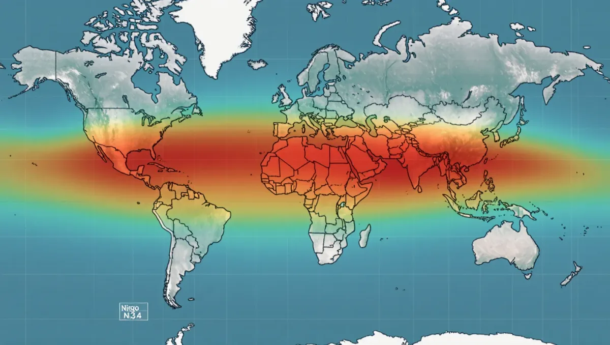
NOAA's Climate Prediction Center declared the onset of El Niño conditions in the tropical Pacific, per its June 11, 2026 advisory, assigning a 63 percent probability that the event ranks as strong — among the top tier of historical El Niños — at its peak later in the year. El Niño is the warm phase of the Pacific's dominant oscillation: a sustained warming of the central and eastern equatorial Pacific that reorganizes global weather, shifting rainfall, drought, and storm tracks across every continent except Antarctica.
Seasonal forecasts describe probabilities, not certainties; agricultural and emergency-planning decisions should rest on official regional advisories, not on any single article.
What exactly did the advisory establish?
El Niño is declared when sea-surface temperatures in the Niño 3.4 region of the equatorial Pacific run at least 0.5 degrees Celsius above average, alongside consistent atmospheric response — weakened trade winds and shifted convection. The June advisory confirmed both criteria had been met, per NOAA, transitioning the region out of the La Niña conditions that had dominated the preceding two years. An El Niño event, once declared, typically strengthens through the northern autumn and winter before decaying the following spring.
Why the strength forecast matters
Strong El Niños are global events, not regional ones. The 2015-2016 and 2023-2024 events each pushed global mean surface temperature to then-records on top of the warming trend, and the 2023-2024 event contributed to the hottest year in the instrumental record. A strong 2026-2027 event would raise the odds that global temperature rankings continue climbing. Regionally, the historical pattern includes drought in Australia, Indonesia, and parts of southern Africa; heavy rainfall in Peru and Ecuador; and a milder Atlantic hurricane season, though NOAA's advisory emphasizes that strength forecasts say little about where local impacts land.
How good are these forecasts?
Onset prediction is the mature part: dynamical and statistical models consistently anticipated the transition, and declaring onset uses observed data rather than forecast skill. Peak-strength prediction made in June is far less certain — historical verification shows spring and early-summer forecasts of event magnitude carry wide error bars, the tail of the so-called spring predictability barrier. The 63 percent strong-event probability is a model consensus with real downside risk in both directions.
What to watch next
The monthly Niño 3.4 readings through the autumn will show whether the warming tracks the strong-event path, and regional impact outlooks — drought and flood probabilities — update as the event matures. The durable check on the forecast: the peak sea-surface temperature anomaly measured in the boreal winter, which will be compared against the forecast distribution published in June. If the event lands in the historical top tier, the temperature and rainfall records of 2026-2027 become a live test of how El Niño and long-term warming stack.